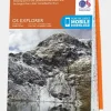
Sale!

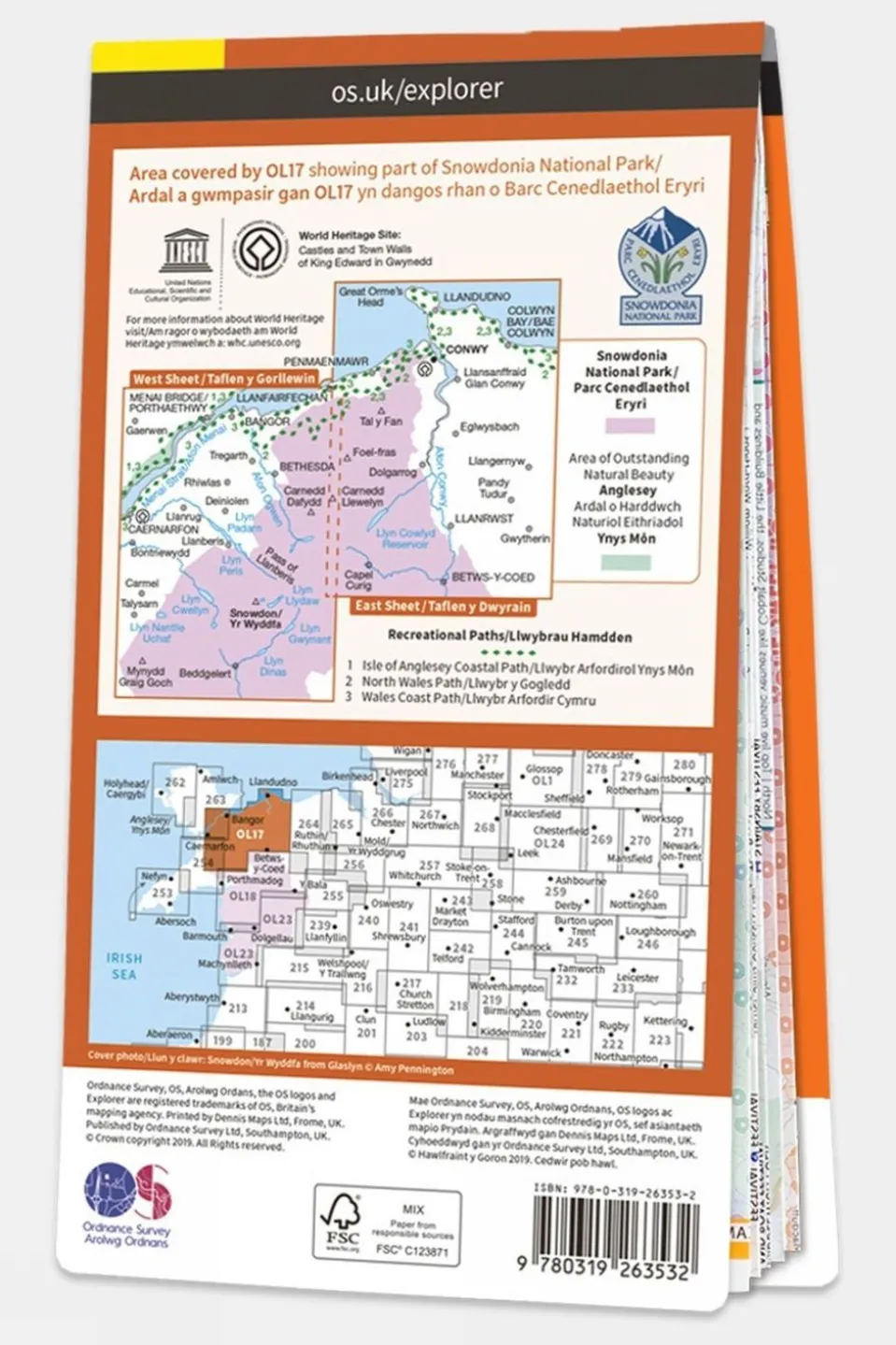

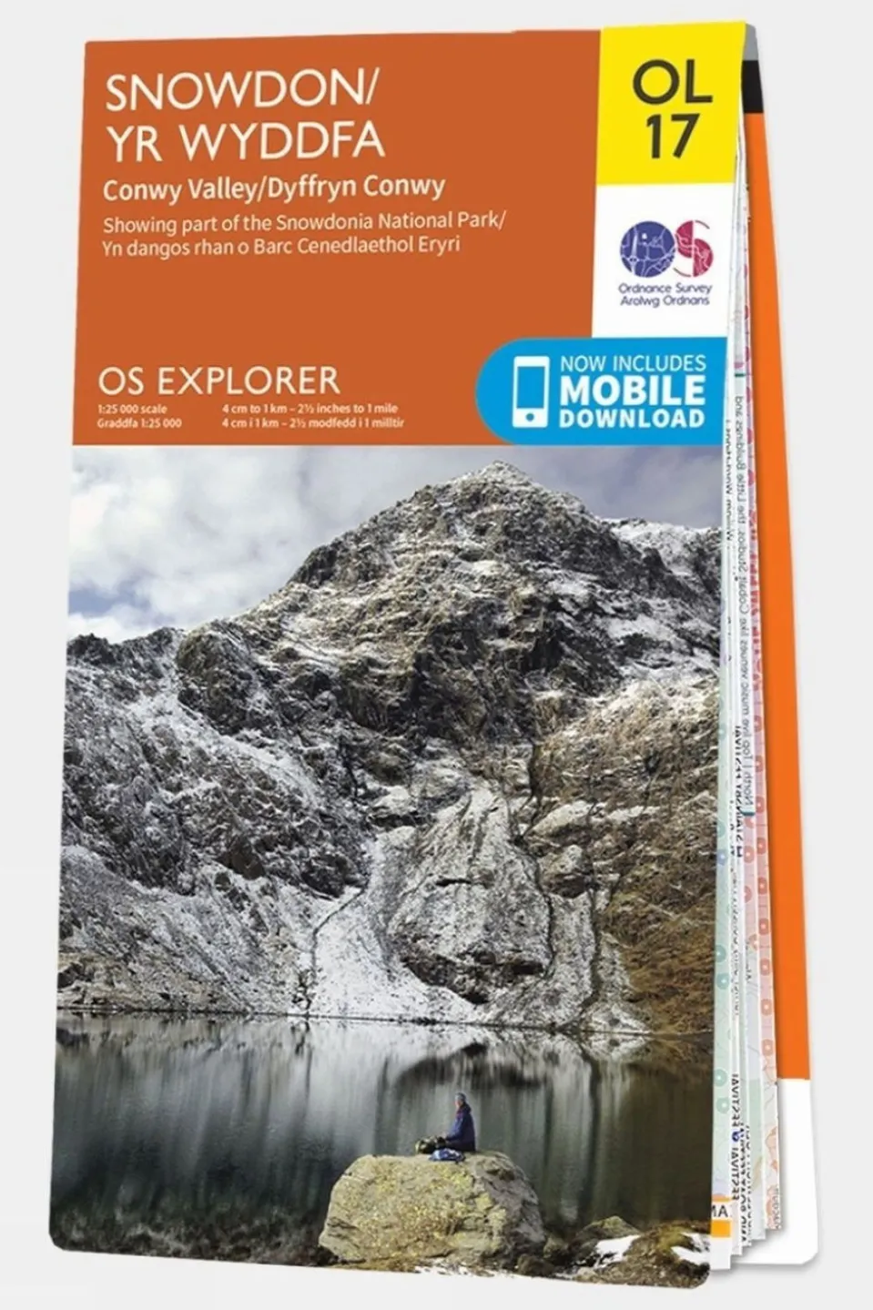
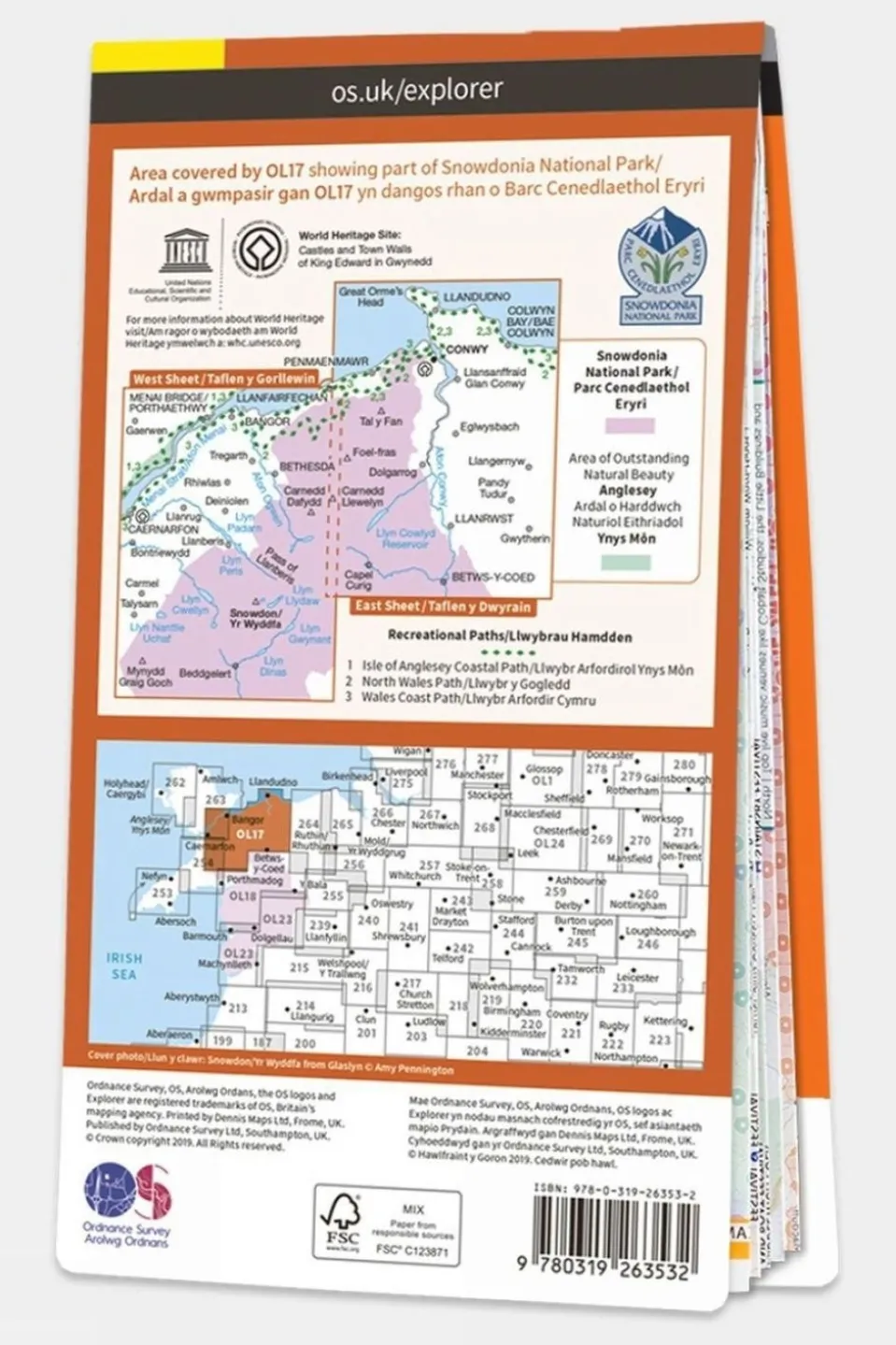
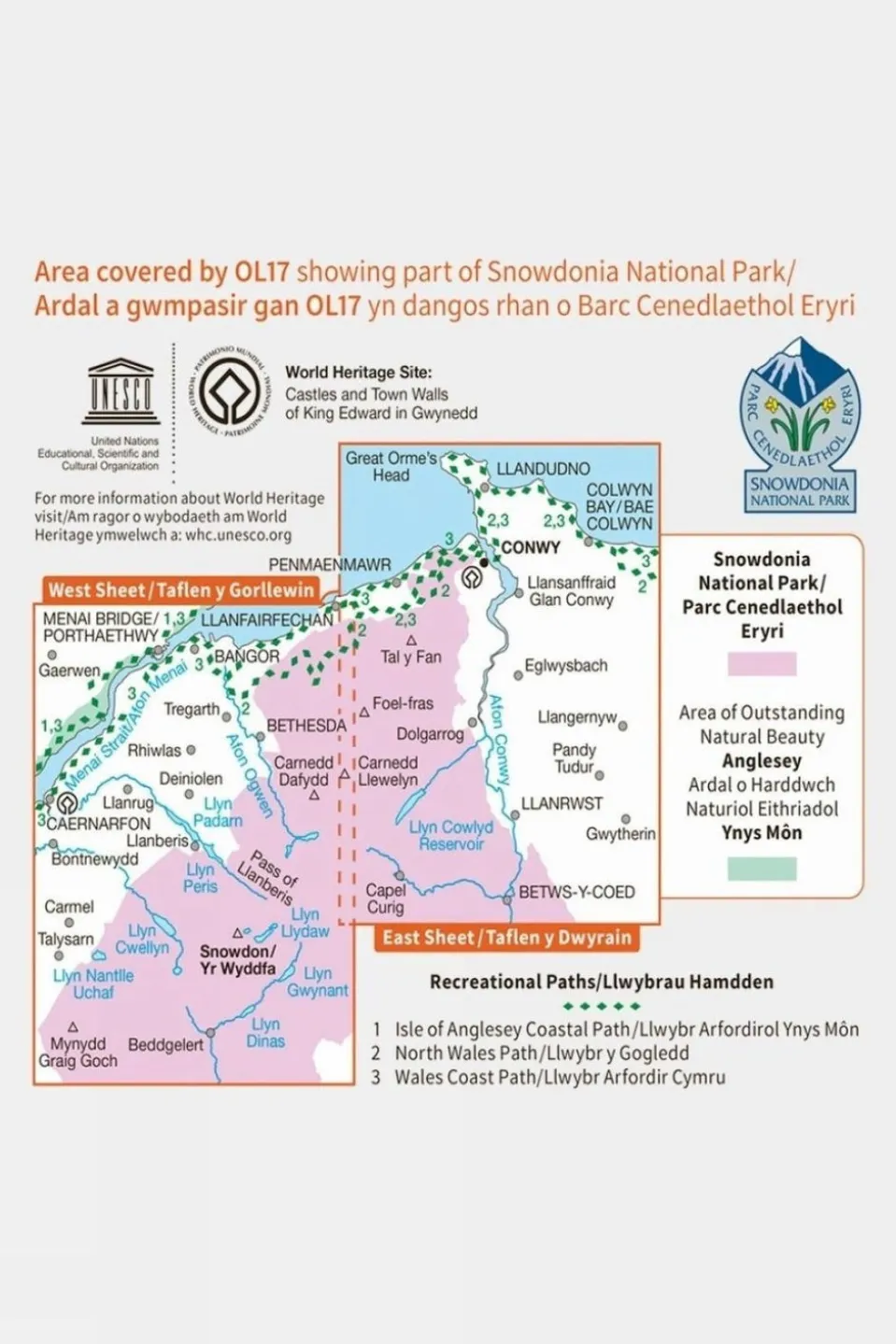
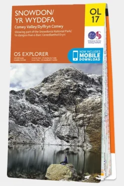
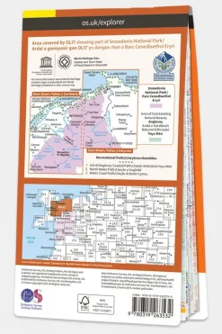


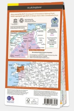

Explorer Map OL17 Snowdon and Conwy Valley
Original price was: £12.32.£10.10Current price is: £10.10.

Original price was: £12.32.£10.10Current price is: £10.10.
| Color | V19, V15 |
|---|

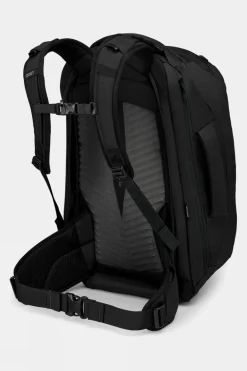
Equipment + Packs
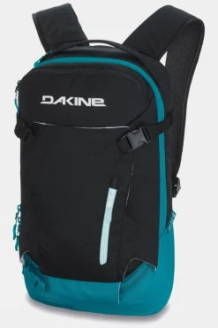
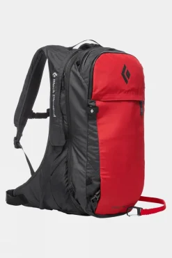
Avalanche Backpacks
Equipment + Packs

Equipment + Packs

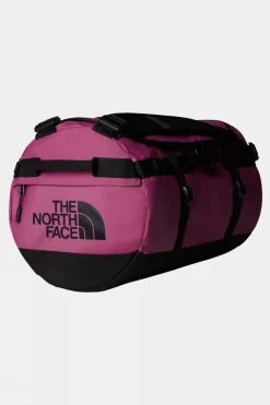
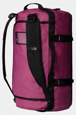
Duffels+Luggage
Equipment + Packs

Apres
Equipment + Packs
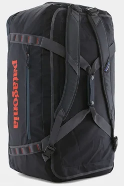
Duffels+Luggage

Bags

Duffels+Luggage


Duffels+Luggage


Reviews
There are no reviews yet.